
Map
Access map, museum visit and estate visit
Access map to the museum
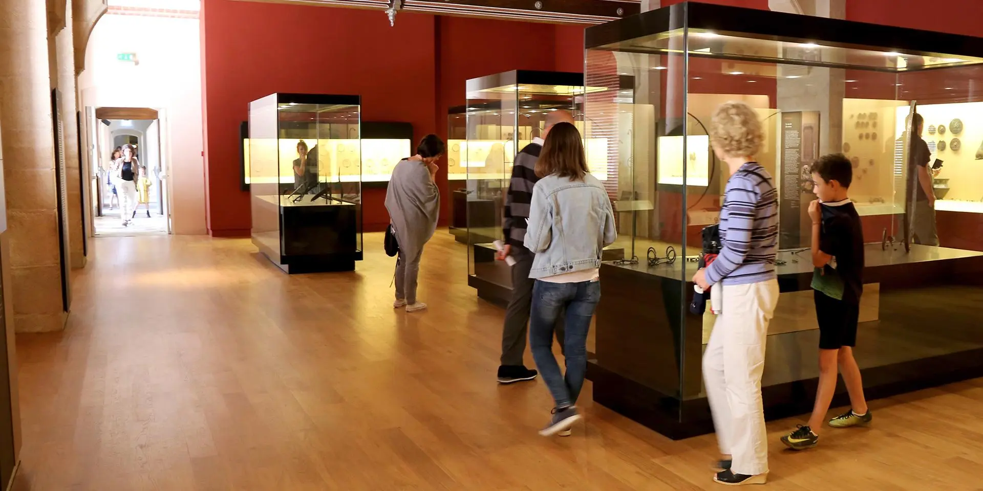
Musée d’Archéologie Nationale - Domaine National du château de Saint-Germain-en-Laye
Château-Place Charles de Gaulle
78100 Saint-Germain-en-Laye
01 39 10 13 00
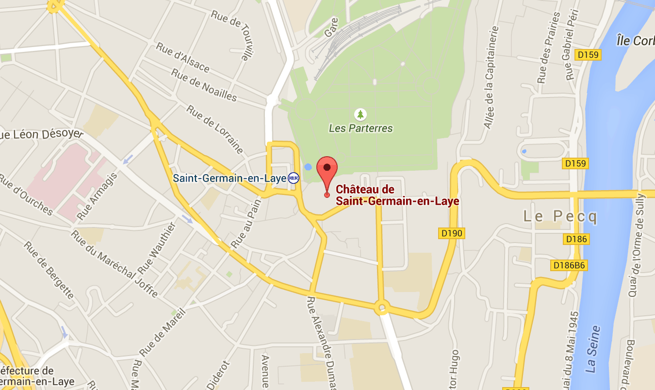
GPS coordinates : Latitude : 48.897872 | Longitude : 2.096123
Transportation and parking
RER line A : Saint-Germain-en-Laye station located in front of the castle (20 mn from Charles-de-Gaulle-Etoile)
- Bus 258 from La Défense
- Western highway A 13, RN 190, RN 13, N 186
- RER line A : Saint-Germain-en-Laye station located in front of the castle (20 mn from Charles-de-Gaulle-Etoile)
- Bus 258 from La Défense
- Western highway A 13, RN 190, RN 13, N 186
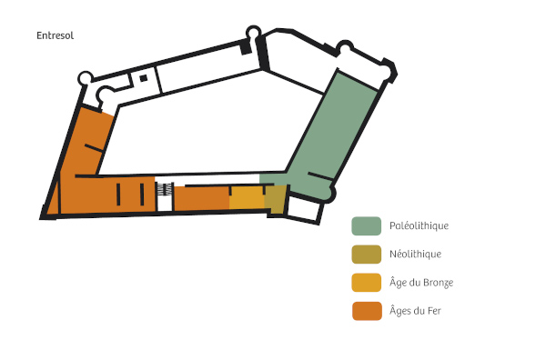
Map of the museum rooms
Find your way around the museum
First floor
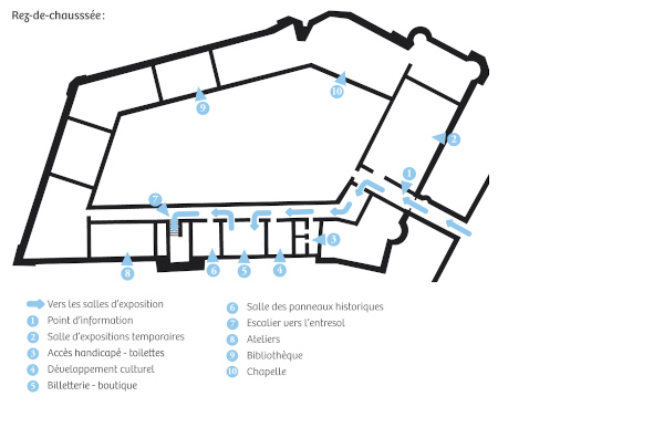
Main floor
Map of the domain
The national domain of Saint-Germain-en-Laye offers, 20 minutes from Paris, 70 hectares of preserved spaces bordering a gigantic forest of 3500 hectares. The richness of the styles presents, in very well identified spaces, a whole summary of the history of gardens. The park has been classified as a historical monument since 1862.
More information about the estate
Download the map of the estate